Shadows from Space: Leaked Satellite Data Reveals Scale of US-Israeli Strikes in Iran
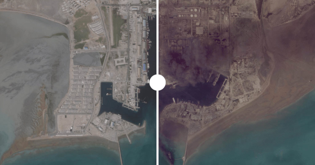
Table of Contents
The Digital Blackout of a War Zone
For the past 100 days, the full physical toll of the joint US-Israeli military campaign against Iran has remained largely shielded from public view. While official briefings have hinted at “strategic successes,” the actual geography of the destruction has been obscured by a coordinated effort to blind the world’s commercial eyes. At the request of Washington, major satellite operators—including California-based Planet Labs—instituted an indefinite blackout on high-resolution imagery of the conflict zones.
However, the nature of modern geospatial intelligence (GEOINT) makes a total blackout nearly impossible. Before the restrictions were fully enforced, a mosaic of data from Airbus, Planet Labs, Sentinel, and Vantor captured the region in high definition. These images, recently synthesized by Al Jazeera’s Open Source Unit, provide a visceral counter-narrative to official reports, documenting a systematic dismantling of Iranian nuclear, naval, and energy infrastructure.
Operation Midnight Hammer and the Nuclear Target
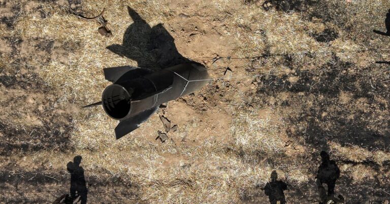
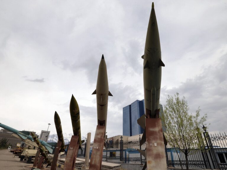
The most critical revelations center on the Natanz complex in Isfahan province. As Iran’s primary uranium enrichment hub, Natanz was a primary target of “Operation Midnight Hammer.” Satellite data reveals that the facility was struck twice in June 2025, utilizing GBU-57 Massive Ordnance Penetrators (MOPs)—the US military’s premier “bunker buster” bombs designed to penetrate deep reinforced concrete.
Analysis of imagery from early March shows direct structural failures not just in surface buildings, but in the critical ramps and personnel pathways leading to the underground enrichment halls. The damage suggests a precision effort to collapse the access points to the subterranean facility, effectively entombing the centrifuges within.
Crippling the Energy and Naval Arteries
Beyond nuclear sites, the strikes targeted Iran’s economic lifeline: its oil exports. Sentinel-2 imagery from April 15, 2026, shows a catastrophic fire at Siri Island, a vital alternative export hub. The data confirms a direct hit on a million-barrel storage tank, mirroring similar devastation seen at the Kharg Island terminal. By targeting these nodes, the coalition has effectively throttled Iran’s ability to fund its war effort.
The naval capacity of the Islamic Republic of Iran Navy (IRIN) has suffered a similar fate. In Bandar Abbas, imagery from Planet Labs and Airbus captured between February and April 2026 reveals extensive destruction across 11 distinct locations. Most notably, the IRIS Makran is visible with severe hull damage and thick smoke emanating from its deck, signaling a successful strike on one of the navy’s primary surface combatants.
Collateral Damage and Regional Spillover
The conflict’s reach extended far beyond Iranian borders, leaving a trail of ruins in southern Lebanon and US-affiliated bases across the Gulf. In the town of Bint Jbeil, once a symbolic capital of the border region, satellite data confirms the destruction of approximately 725 buildings. In nearby Rachaf, entire residential neighborhoods appear to have been leveled, illustrating the intensity of Israeli ground and air operations.
Even the coalition’s own hubs were not immune. At the Al Udeid Air Base in Qatar—the forward headquarters of US Central Command (CENTCOM)—imagery from April 4 shows structural impacts on logistics buildings and aircraft shelters. Similarly, Kuwait’s Ali Al Salem Air Base shows damage across nine locations, though analysis suggests this was the result of falling debris from Iranian ballistic missiles intercepted by local air defenses rather than direct hits.
As the conflict enters its next phase, the tension between government-mandated secrecy and the democratized access to space-based surveillance continues to grow. The “blackout” may stop the daily feed, but as these leaked images prove, the orbital record is permanent.