The Orbiting Watchdog: How High-Frequency Satellite Intel is Replacing Traditional Border Patrols
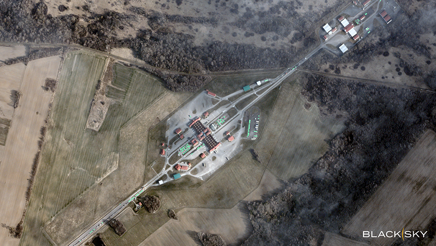
Table of Contents
The End of the Static Border
For decades, border security has been a game of static lines and intermittent patrols. Whether it was land corridors in Eastern Europe or coastal approaches in the Mediterranean, the strategy relied heavily on boots on the ground and delayed intelligence reports. But the nature of border activity has shifted. Modern migration and smuggling networks are fluid, capable of repositioning staging areas and altering maritime routes in a matter of hours, often rendering yesterday’s intelligence obsolete by the time a patrol arrives.
This gap in “tempo”—the speed at which a security agency can observe a change and act upon it—has created a critical vulnerability. To bridge this, national security organizations and ministries of interior are increasingly turning to commercial space-based intelligence (GEOINT) to move away from snapshots and toward persistent monitoring.
Compressing the Decision Cycle
The shift is led by a new generation of satellite constellations, such as those operated by BlackSky, which prioritize revisit rates over sheer resolution. While traditional spy satellites might offer incredibly detailed images, they often suffer from long gaps between passes. High-frequency monitoring changes the math by delivering imagery at intervals ranging from daily to hourly, effectively turning a satellite into a persistent sensor.
At the tactical level, this allows agencies to answer the most urgent question: What is happening right now? Instead of relying on a report that a vehicle concentration was spotted six hours ago, commanders can see real-time clusters of vehicles near non-transit corridors or the sudden appearance of temporary encampments.
The real force multiplier, however, is the integration of AI-enabled analytics. Manually scanning thousands of square miles of imagery is an inefficient use of human intelligence. By automating the detection and classification of vessels, aircraft, and vehicles, these platforms filter out the noise. Analysts no longer hunt for anomalies; they are alerted to them. When an AI flags an irregular pattern of small maritime vessels maneuvering outside established shipping lanes, it triggers a targeted response rather than a blind patrol.
From Reactive Patrols to Predictive Posture
Beyond immediate tactical responses, the accumulation of high-frequency data enables a deeper layer of “pattern-of-life” analysis. By tracking the ebb and flow of activity over weeks and months, operational leaders can identify the systemic infrastructure of facilitation networks. This includes the emergence of recurring logistics nodes and predictable cycles in how staging areas migrate across a region.
This capability shifts the operational philosophy from reactive to proactive. If data shows a sustained increase in pressure on a specific coastal approach, resources can be repositioned before the area is overwhelmed. This reduces the reliance on fragmented reporting streams and allows different ministries and NGO partners to coordinate based on a single, verifiable source of truth.
The Strategic Stakes of Speed
At the highest levels of government, this technology is becoming a tool for reducing geopolitical uncertainty. The ability to see how routes evolve and how networks adapt allows policymakers to shape their security posture with a level of precision that was previously impossible.
However, the transition to space-based intelligence isn’t without challenges. The volume of data generated by persistent monitoring is immense, requiring robust cloud infrastructure and sophisticated filtering to prevent “analysis paralysis.” Furthermore, the reliance on commercial providers introduces new questions about data sovereignty and the security of intelligence pipelines.
Ultimately, the integration of low-latency satellite constellations represents a fundamental change in border management. In a landscape where organized networks are adaptive and mobile, the strategic advantage no longer belongs to the entity with the most boots on the ground, but to the one that can process orbital data into actionable intelligence the fastest.