The New Kill Chain: How Commercial Satellite Data is Weaponizing the U.S.-Iran Conflict
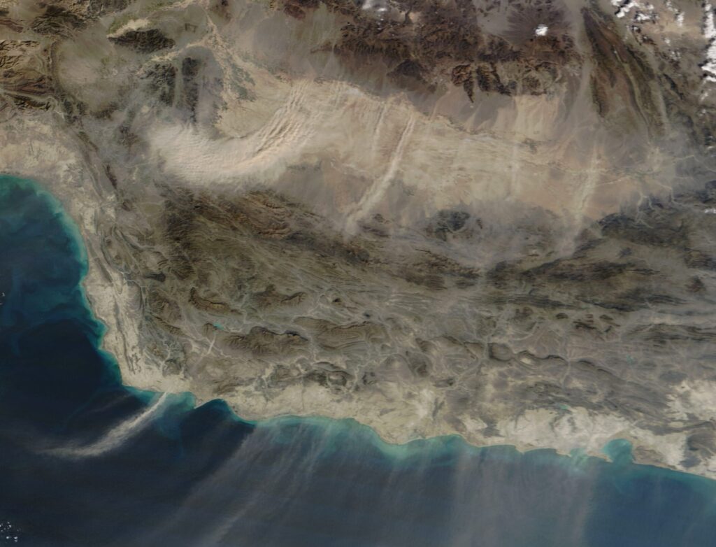
Table of Contents
The Erosion of the Classified Monopoly
For decades, high-resolution geospatial intelligence (GEOINT) was the exclusive domain of superpowers. The ability to peer down from orbit with precision was a guarded state secret, locked behind the highest levels of security clearance. That era has ended. In the escalating tensions between the United States and Iran, the battlefield is no longer just defined by territorial lines, but by who controls the flow of commercial satellite data.
We are seeing a fundamental dissolution of the boundary between civilian and military space infrastructure. The emergence of “dual-use” systems—commercial constellations that can be pivoted for military targeting—has turned visibility into a strategic weapon. This isn’t just about better maps; it is about the systemic outsourcing of the “kill chain,” where the sequence from detection to strike is now facilitated by private firms and foreign-operated ground networks.
The Digital Blockade and the Shadow Network
The conflict has highlighted two opposing trends in how visibility is managed. On one side is the attempt to curate reality through digital blockades. Planet Labs, a leader in commercial Earth observation, has reportedly restricted imagery over Iran and other active war zones at the behest of state actors. This creates a strategic asymmetry of perception: when a state can dictate what a commercial satellite is allowed to “see” or share, it effectively shapes the conditions of the conflict itself.
Conversely, Iran has found a way to bypass these traditional intelligence constraints by leveraging a fragmented ecosystem of commercial providers. Reports indicate that Iranian operators have utilized Chinese-connected systems, specifically the Earth Eye Co and Emposat networks, to generate intelligence on U.S. assets. By tapping into these third-party constellations, Tehran has effectively democratized its targeting capabilities, utilizing global commercial infrastructure to track assets that were previously thought to be obscured.
Precision through Saturation
The operational impact of this data-driven approach has been stark. In recent retaliatory campaigns, Iranian forces executed saturation bombing runs across a wide swath of the Middle East, hitting bases in Bahrain, Kuwait, Qatar, Saudi Arabia, and the UAE. These weren’t random strikes. The precision of the attacks suggests a high level of geospatial coordination.
Preliminary estimates indicate these operations caused roughly $800 million in damage to U.S. installations in just two weeks. More critical than the monetary loss was the targeting of specific high-value assets: THAAD missile defense systems, AN/TPY-2 radars in Jordan, and E-3 Sentry surveillance aircraft. These are the “eyes and ears” of the U.S. regional command. By neutralizing these nodes, Iran didn’t just destroy hardware; it disrupted the data-intensive sensor networks the U.S. relies on for power projection.
The Cost-Imbalance Strategy
The use of geospatial data has also allowed Iran to exploit a brutal economic disparity in modern defense. By launching over 5,400 drones and missiles in a single month, Tehran employed a strategy of saturation. While the drones are relatively inexpensive, the interceptors used by the U.S. to stop them are exponentially more costly. This creates a war of attrition where the attacker uses commercial-grade data to guide low-cost munitions, forcing the defender to spend millions to stop thousands of dollars in hardware.
A Global Blueprint for Modern War
The U.S.-Iran dynamic is not an isolated incident; it is a blueprint for 21st-century conflict. The Russia-Ukraine war has already demonstrated the criticality of private satellite imagery for battlefield awareness, while the integration of China’s Beidou and Russia’s GLONASS navigation systems shows a growing trend toward interoperable, dual-use infrastructure.
As these commercial networks become more integrated into military command-and-control, the distinction between a civilian tech company and a military contractor continues to blur. In this new environment, the most valuable asset is no longer the missile itself, but the geospatial data that tells the missile exactly where to go.