The Tempo War: How High-Frequency Satellite Intelligence is Redefining European Border Security
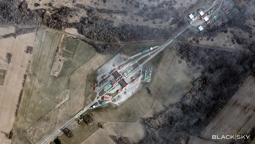
Table of Contents
Moving Beyond the Static Border
For decades, border monitoring has been treated as a problem of geography—a line on a map to be patrolled. But in the current European security climate, that line has become a dynamic system. Smuggling networks and organized facilitation groups are increasingly adaptive, shifting staging areas and altering maritime routes within hours to evade detection. In this environment, the primary challenge for ministries of interior and national security agencies is no longer a lack of data, but a lack of tempo.
The traditional satellite imagery model—where a request is made, an image is captured, and a report is filed days later—is effectively obsolete for tactical border operations. By the time a report hits a commander’s desk, the vehicle concentrations or temporary encampments it flagged have often vanished. This gap in the decision cycle is where commercial space-based intelligence (GEOINT) providers, most notably BlackSky, are now focusing their efforts.
Closing the Tactical Gap
At the tactical level, border security is a game of minutes. The ability to answer “what is happening right now?” determines whether a patrol is deployed to a ghost site or intercepts a crossing in progress. High-frequency revisit rates—the speed at which a satellite returns to the same spot on Earth—are the critical metric here.
By leveraging a constellation designed for low latency, firms like BlackSky provide imagery that allows agencies to spot anomalies in real-time: a sudden cluster of vehicles near a non-transit corridor or a small vessel maneuvering outside established shipping lanes. When this imagery is paired with AI-enabled computer vision, the process shifts from manual scanning to automated alerting. Instead of an analyst hunting for a needle in a haystack, the system flags the needle, allowing tactical commanders to deploy assets based on current conditions rather than outdated assessments.
Pattern-of-Life Analysis and Resource Allocation
While immediate detection handles the crisis of the hour, the broader operational challenge is resource allocation. European border zones are vast, and manpower is finite. Persistent monitoring enables a shift toward “pattern-of-life” analysis, tracking how logistics nodes evolve over weeks and months.
By analyzing the frequency and movement of staging areas, operational leaders can identify emerging pressure points before they become overwhelmed. This allows for a proactive repositioning of assets. If data shows a sustained increase in maritime pressure along a specific coastal approach, resources can be shifted preemptively. This isn’t just about seeing more; it’s about shortening the time between the identification of a trend and the reallocation of a physical unit on the ground.
The Strategic Pivot to Predictive Posture
Beyond the immediate tactical and operational needs, there is a strategic layer to this technology. Long-term, high-cadence monitoring reveals the skeletal structure of facilitation networks—the recurring transportation hubs and infrastructure that support illegal crossings. These indicators may not signal an immediate breach, but they provide the intelligence necessary to shape diplomatic and policy responses.
The integration of AI and high-frequency satellite data is transforming border security from a reactive posture into a predictive one. As commercial constellations grow more capable, the advantage moves to the party that can process information the fastest. In the high-stakes environment of national security, speed has ceased to be a technical luxury and has become a strategic necessity.